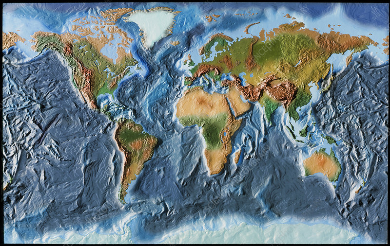
^BTopographical world map.^b Relief-shaded topographical map of the Earth. The relative elevation of the Earth’s surface is shown as it would appear without the seas and oceans. Continents are green and brown, while areas which are normally under water are blue. This map reveals many tectonic faults, such as the Mid- Atlantic Ridge (centre left), which runs between Europe/Africa and the Americas, and the deep subduction faults (darker regions) of the Pacific rim (far left & right). The movement of the tectonic plates that form the Earth’s surface are responsible for the formation of mountain ranges (dark brown).
